
9 Days Tokyo Itinerary
Japanese Alps Route
Tokyo (Narita) – Nikko – Takayama-Matsumoto – Shirakawago – Noto peninsula – Mt.Fuji
Discover the stunning beauty of Japan’s countryside from Tokyo to Mt. Fuji on this diverse route. Key stops include Nikko, Shirakawago, and Matsumoto, along with beautiful camping sites and RV parking near iconic landmarks.
View on MapsDay 1
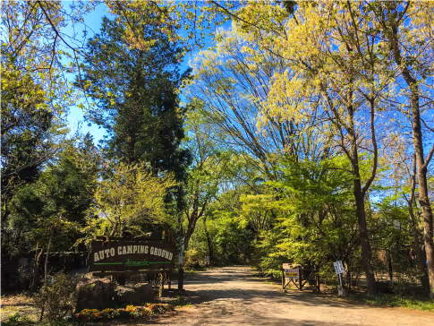
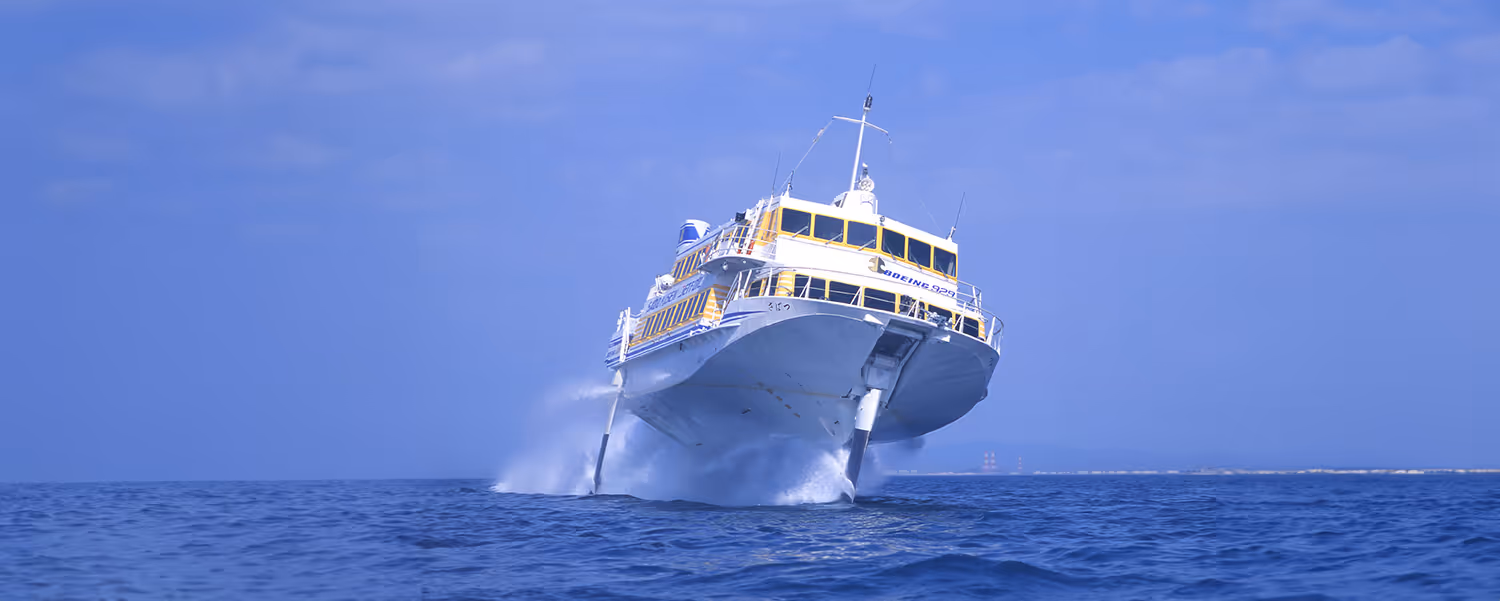
Start at our Narita office. About 25-30 minutes from Narita Airport.
If you’re arriving late at our office and too tired for a drive, there is a nearby auto campsite or others that we recommend.
Day 2
From Rental Car Station to Nikko, it is approximately 200KM, around 3 to 4 hours of driving depending on traffic.
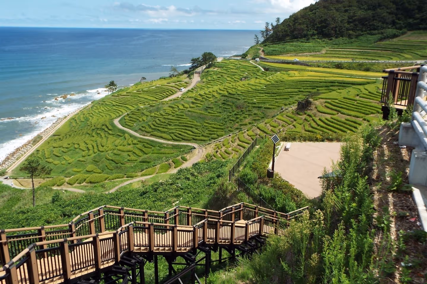
It is stunning destination for nature lovers and culture seekers alike. Explore the World Heritage shrines and temples that showcase the rich history and spirituality of Japan, such as the ornate Toshogu Shrine and the serene Rinnoji Temple. Enjoy the scenic beauty of the park in any season, from the snowy peaks and frozen lakes in winter to the colorful flowers and waterfalls in spring and summer.
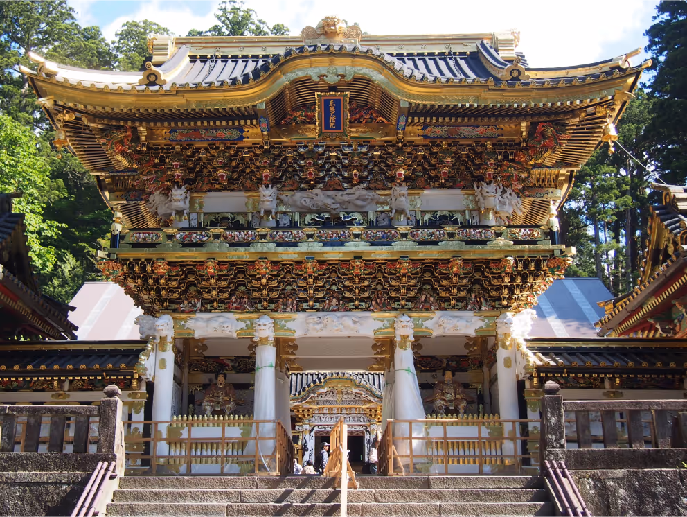
Nikko National Park ↗
Nakimushiyama
A popular hiking course in Nikko. It is famous and attracts many climbers due to its easy access to the trailhead. If you are an experienced climber, searching for a thrill, head on to Mt. Nantai. A 30 mins drive from Nakimushiyama.
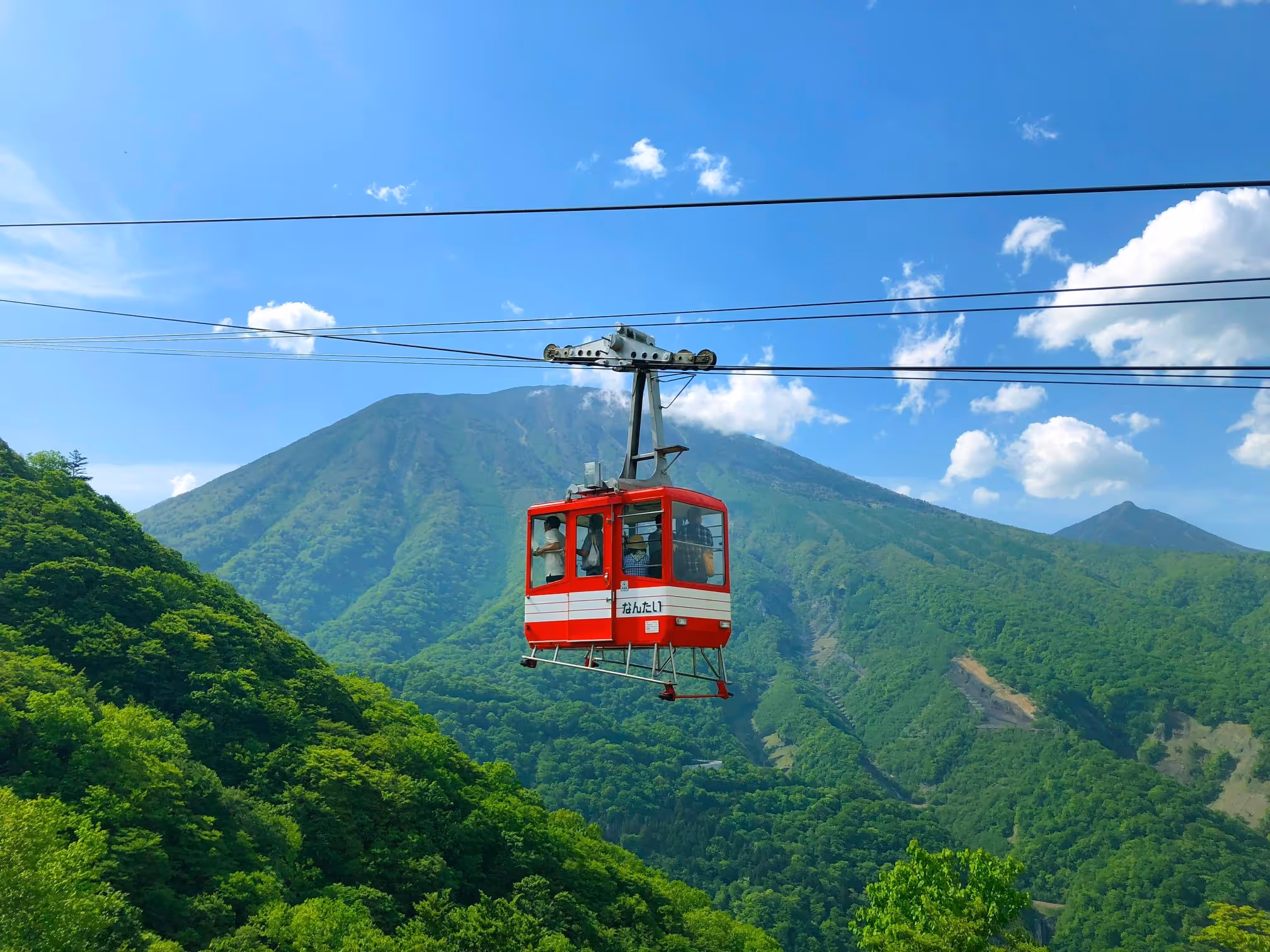
Akechidaira Ropeway Observation Deck ↗
A viewing platform with vistas over Kegon Waterfall and Lake Chuzenjiko which can be accessed by ropeway or hiking.
Opens at 8:40 – 15:30.
Ropeway fare: Adult: One-way 600JPY | Roundtrip: 1,000JPY / Child: One-way 300JPY | Roundtrip: 500JPY
Opens at 8:40 – 15:30.
Ropeway fare: Adult: One-way 600JPY | Roundtrip: 1,000JPY / Child: One-way 300JPY | Roundtrip: 500JPY
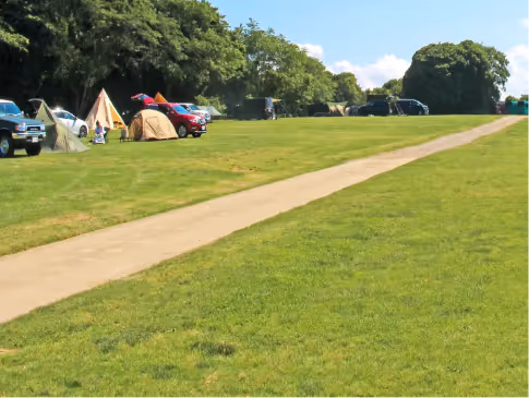
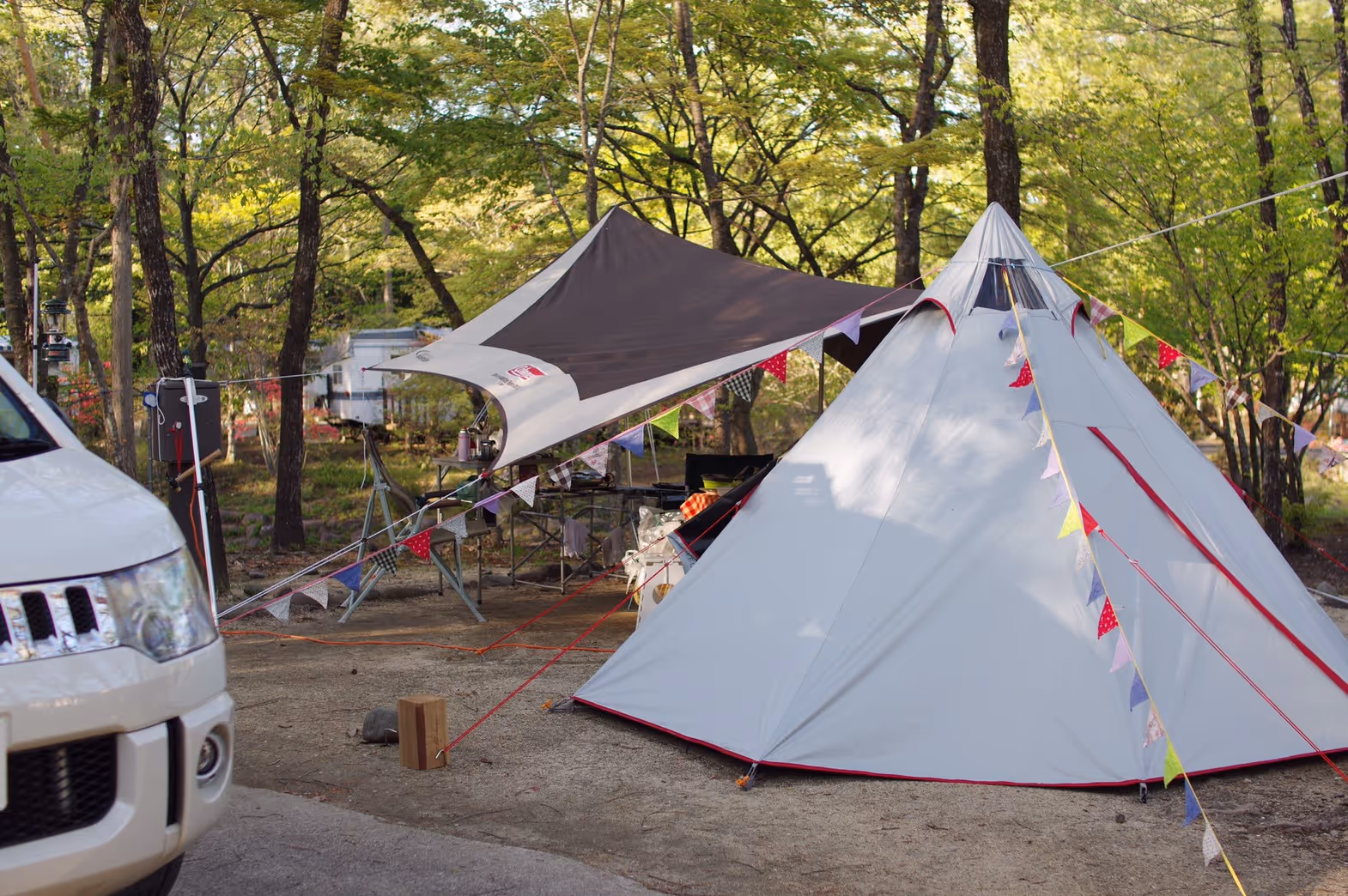
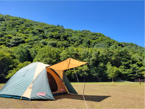
Campground & Roadside Station
Day 3
After a tiring day 2, its time to relax and cool down. Enjoy Nikko’s enchanting waterfalls.
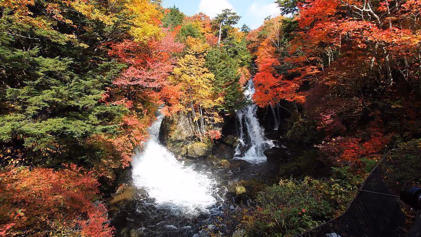
Ryuzu Waterfall
Ryuzu Waterfall (竜頭ノ滝, Ryūzu no Taki) means "dragon head waterfall" in Japanese. The name comes from the shape of the falls, which resembles the head of a dragon. The waterfall is located on Yukawa River, shortly before the river discharges into Lake Chuzenji.
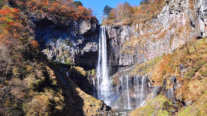
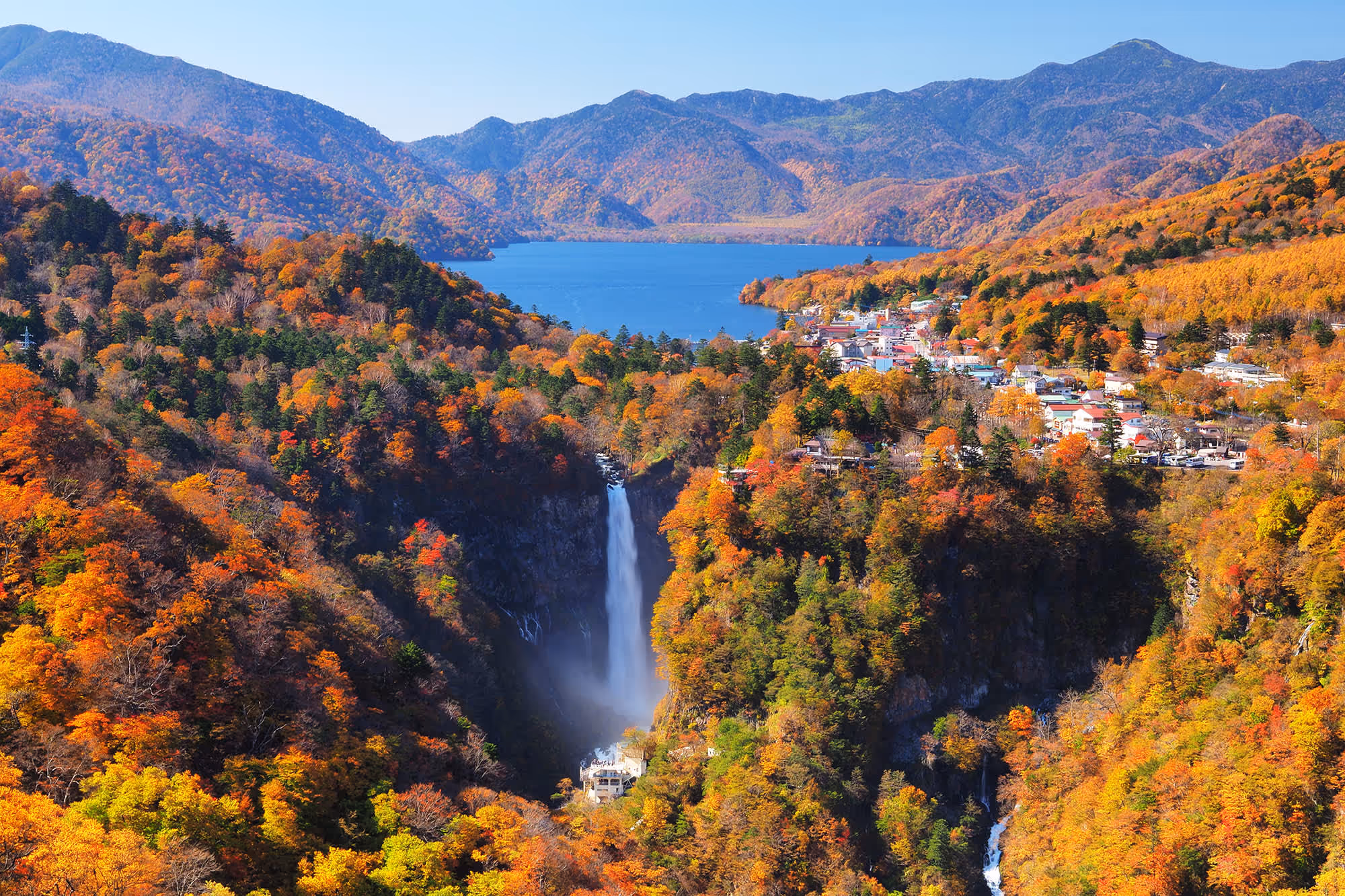
Kegon Waterfall
Kegon waterfall is Nikko`s most famous waterfall, and was also listed as one of Japan's most beautiful waterfalls. Kegon Waterfall can be seen from a free observation platform that is easily accessible on foot, as well as from a paid platform at the base of the falls. The paid platform is accessed via a 100-metre-deep elevator and offers more impressive views.
Elevator to the lower observation deck:
8:00 to 17:00 (March to November) | 9:00 to 16:30 (December to February) | No closing days | Admission Fee: 570JPY
Elevator to the lower observation deck:
8:00 to 17:00 (March to November) | 9:00 to 16:30 (December to February) | No closing days | Admission Fee: 570JPY
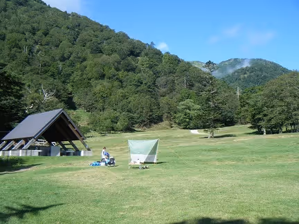
Nikkoyumoto Camping Ground ↗
Day 4
Day 5
Day 6
Day 7

Kamikochi
A popular resort in the Northern Japan Alps of Nagano Prefecture, offering some of Japan's most spectacular mountain scenery. It is open from April 17 until November 15 and shuts down during winter.
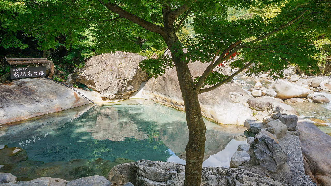
Okuhida Onsen
Is the most easily accessible of the three mountains of Dewa sanzan. At its summit stands Haguro-san Shrine, the only of the three Dewa Sanzan shrines that is open year-round. Symbolizing birth, Haguro-san is usually the first shrine visited.
Day 8
Matsumoto
The gateway to the Japan Alps and a destination in its own right. Apart from being home to Japan's oldest extant castle, it is also the birthplace of avant-garde artist Yayoi Kusama.
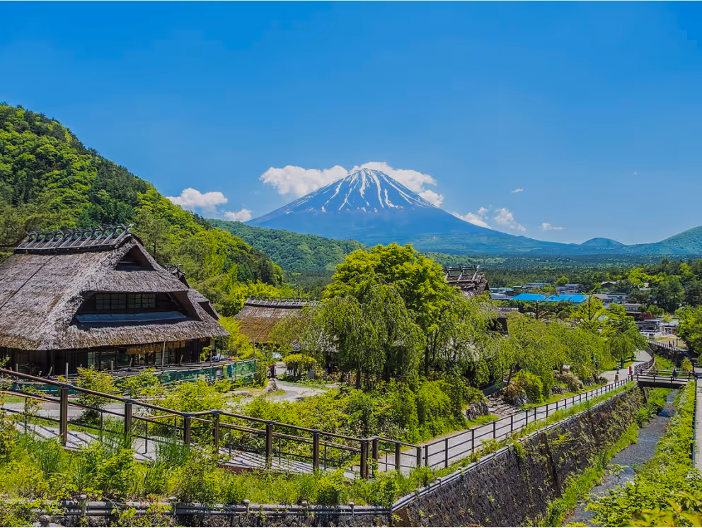
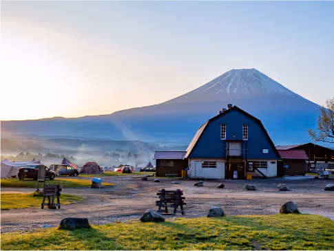
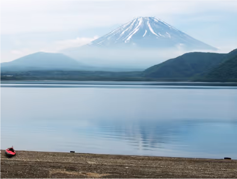
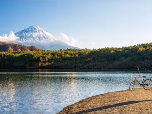
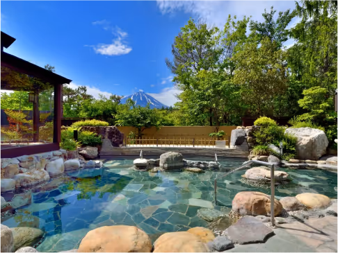
Mount Fuji
There is a lot to see and do around Mt.Fuji area. To make the best of it, we recommend you stay for 2 days at least.
Oshino Hakkai ↗
A touristy set of eight ponds in Oshino, a small village in the Fuji Fike Lake region, located between Lake Kawaguchiko and Lake Yamanakako.
Saiko Iyashi-no-Sato Nenba ↗
It is also known as the “Healing Village” This village was reconstructed after it was damaged by a typhoon. Now, it consists of Japanese souvenirs shops, some are handmade. If you’re looking for more Japanese souvenir this is the place to go.
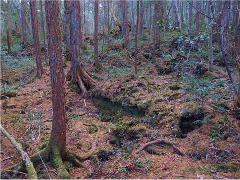
Aokigahara Forest
Most commonly known as ‘Suicide Forest’. There are clear paths that lead you through a comfortable hike but the surrounding trees and plant life are covered in moss and all of the roots intertwine with each other to create a fairytale aura with a ghostly twist. Walking further into the forests will entice you with crossroads.
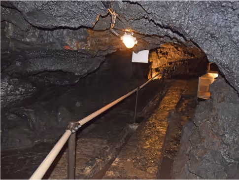
Fugaku wind cave ↗
Surrounded by the rich greenery of Aokigahara Jukai. Even in summer, the temperature inside the cave remains at an average of 3 degrees Celsius. It was used as a natural refrigerator to store silkworm eggs until the early Showa period. It is now designated as a national natural monument.
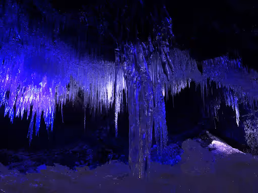
Narusawa Ice cave ↗
Located at the eastern entrance of Aokigahara Jukai. It is counted as one of the sightseeing spots of Fuji 5 Lakes throughout the year. Narusawa’s tree lava group is said to have one of the largest number of spiracles in the world.
Campground & Roadside Station
Day 9
For the last day, please make your way back to our Narita office. It is about 3-5 hours drive depending on which road you will take. You will pass through service areas where you may take some rest.